project logo

Geopublisher

Electronic Library Manager

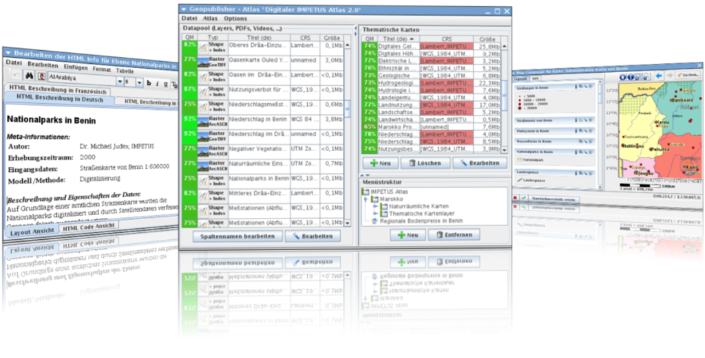
Geopublisher is an atlas authoring system which enables easy publication of geo-data, documents, images, videos, and statistics in form of digital multimedia atlases. These atlases are effectively a minimal, pre-configured, end-user GIS which offers selected functionality only where its meaningful.

Geopublisher provides tools for quality assurance and multilingual meta-data management. No in-depth knowledge of HTML, SLD or XML is required to create an atlas. Atlases can be directly published on CD, DVD, memory stick, external hard-drive or the Internet. The software is platform-independent.

Geopublisher’s unique features make it especially applicable in the fields of international research, participatory GIS, capacity building, and development cooperation.

Core Features

screenshot of Geopublisher editing an atlas
  • Atlases created with Geopublisher are a simplified end-user GIS with selected functionality available only where its meaningful.
  • Hybrid online and offline atlases make geo-data accessible in areas beyond the digital divide.
  • Multilingual management of meta-data avoids redundancies and allows for the quick release of updated atlases.
  • Integrated WYSIWYG editors for SLD and HTML allow geopublishing without knowledge of SLD, XML or HTML.
  • All software is Free and Open-Source Software compliant with OGC standards.
  • Geopublisher + QuantumGIS + OpenOffice provide a free Open-Source Geopublishing desktop.
  • AtlasStyler SLD editor is integrated into Geopublisher.
  • Runs on Windows and Linux.
  • Styling based on OGC SLD standard.
  • Offline atlases run directly from any media - Java does not have to be installed.
  • Supports tiled image pyramids for big raster data, as well as GeoTiff tiles and overviews
  • Fully translated into German, Spanish, English, Italian and French.

Implemented Standards

  • OGC Style Layer Descriptor (SLD)

Details

Website: http://en.geopublishing.org/Geopublisher

Software Version: 1.9

Licence: GNU General Public License (GPL) version 3.0; exported atlases are GNU Lesser General Public License (LGPL) version 3.0

Supported Platforms: GNU/Linux, MS Windows

API Interfaces: Java, Swing, Geotools

Support: http://www.wikisquare.de

Copyright & Disclaimer